Peters Pictures
Here, you find photos, which CAN BE USED FOR FREE to illustrate our visions and topics. You can download them from the GRID-Arendal photo library. You can also find others here for direct download. Feel encouraged to use these pictures in your media or publications that align with our visions and context. If you want to use them in different contexts, you may donate to VISION 52. Photo credit is Peter Prokosch, if not indicated differently. We would also welcome feedback, when you can use the photos to indicate sharing our visions.
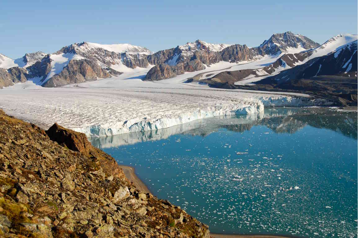
The Arctic
Let’s come back to the vision of the Arctic as a region of peace and environmental cooperation! More pictures to be find at GRID Arendal website, and you can watch a video of letting young people experience the Arctic.
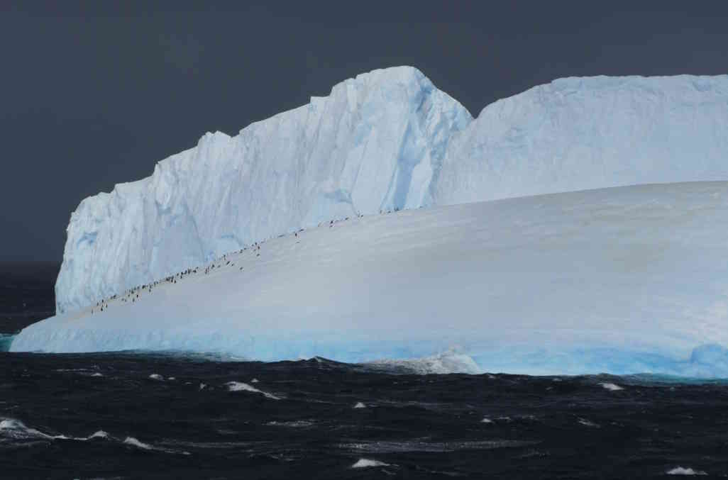
Antarctic Tourism:
The most visited part of Antarctica is the Antarctic Peninsular, opposite South America. The Antarctic Treaty provides guidelines, which have to be followed by tourists and expedition organizers. Tourist operators with small and medium size vessels active in Antarctica are usually members of the International Association of Antarctica Tour Operators (IAATO), which has given itself more detailed guidelines, e.g. for watching and approaching wildlife. The number of tourists visiting Antarctica increased steadily since the 1950s and reached 46,000 in 2007/08, dropping slightly in recent years. The very exclusive opportunities of being close to wildlife and experiencing breathtaking landscapes lead to a high potential that Antarctic visitors get encouraged to support nature conservation, a potential the project “Linking Tourism & Conservation” intents to use and increase.
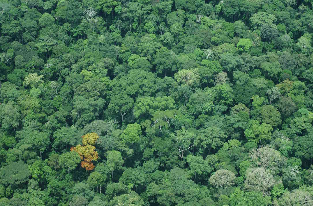
World Forests Ecosystems
Over 1.6 billion people depend directly on forests for their livelihoods across the world, and forests play a crucial role in the Earth’s life support system – including the global carbon and hydrological cycles. Some areas of the world are experiencing net gains in forest cover, through the natural expansion or reforestation efforts. However, deforestation in some areas of the world continues apace, impacting livelihoods and the global climate. The UN estimates that 18% of global carbon dioxide emissions stem from deforestation and forest degradation in developing countries. Avoiding deforestation and degradation is therefore a priority in reducing greenhouse gas emissions.
Raet National Park
Raet National Park was established in 2016 at the South Norwegian coast of Skagerak. It stretches from Hasseltangen in Grimstad to Lyngør in Tvedestrand, and comprises some 607 km² of coastal habitats and a transect of deeper marine habitats.
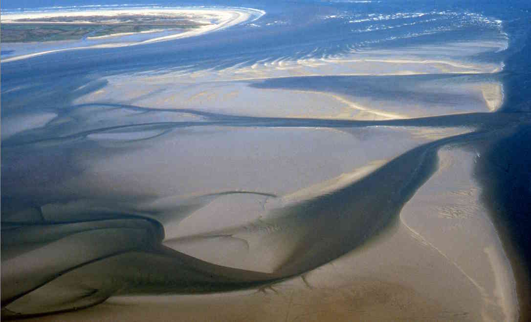
The Wadden Sea
The Wadden Sea is part of the Dutch- (Waddenzee), German- (Wattenmeer) and Danish- (Vadehavet) shallow North Sea coast. Within its intertidal zone it represents the worlds largest continuos tidal flats and extensive saltmarshes. It is rich in biological diversity and has a key function for (Arctic) shorebirds along the East Atlantic flyway. In 2009, the Dutch and German parts of the Wadden Sea were inscribed on UNESCO’s World Heritage List. The entire area is protected as national parks and other kind of protected areas. The International Wadden Sea Secretariat is coordinating the trilateral cooperation of the three Wadden Sea countries to continuously improve the conservation status of this globally important area, which has also significant importance for nature-based tourism
Wildlife in Lofoten
The Lofoten Islands in Northern Norway and its surrounding seas would perfectly meet the criteria of becoming listed in the UNESCO MaB Programme. The newly established Lofotodden national park could fit in as a core zone. Different discussed ways to preserve the natural and cultural values of international importance, such as the famous traditional and sustainable cod fishery, could be achieved by a biosphere reserve with different use zones. Various existing initiatives and projects on the Lofoten, such as De grønne øyene, the commitment of Flakstad municipality to be “arealnøytral” or Folkeakjonen could be integrated if the local people should decide to apply for a biosphere reserve, which UNESCO describes as “Laboratories for the Sustainable Development Goals
Dzanga-Sangha Rainforest Reserves, Central African Republic
The Dzanga-Ndoki National Park and Dzanga-Sangha dense forest special reserve are located in the rainforest in the south-western part of the Central African Republic, Congo Basin. They comprise a total area of more than 4 000 km2 (more than 400 000 hectares). The two central parts of the Reserve, the Dzanga and Ndoki Sectors, constitute the Dzanga Ndoki National Park, covering 495 km2 and 725 km2 respectively. The parks are part of the trilateral cross-boundary cooperation between the Central African Republic, Cameroon and Congo. WWF runs major campaigns and projects to support this cooperation to protect key rainforest areas in the Congo Basin, also as part of the “Yaounde Process” of 7 countries protecting their rainforest.
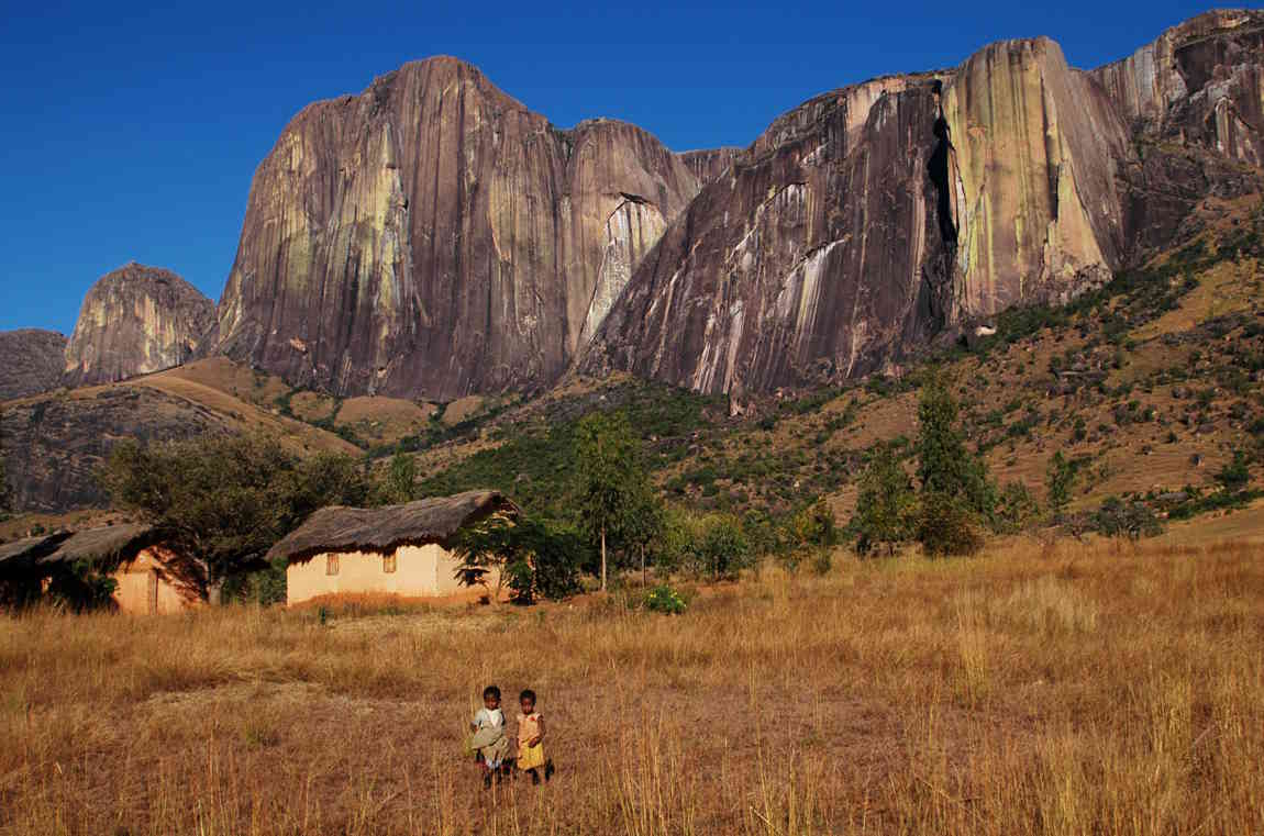
Madagascar
Madagascar is among the world’s poorest countries. As such, people’s day-to-day survival is dependent upon natural resource use. They must live off the land that surrounds them, making use of whatever resources they can find. Their poverty costs the country and the world through the loss of the island’s endemic biodiversity. Madagascar’s major environmental problems include: Deforestation and habitat destruction; Agricultural fires; Erosion and soil degradation; Over exploitation of living resources including hunting and over-collection of species from the wild; Introduction of alien species
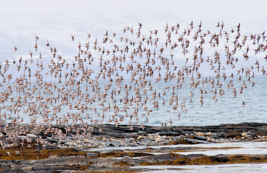
The Red Knot and Long-Distance Migration
The red knot is a migratory shorebird that travels up to 20,000 km twice a year from its breeding grounds on the high Arctic tundra to its southern non-breeding sites. Along with having one of the longest total migrations of any bird, some populations also fly as much as 8,000–9,000 km between stopover sites in a single flight. As a shellfish-eating specialist avoiding pathogen-rich freshwater habitats, the red knot relies on the few large tidal flats with abundant food resources that the world has to offer. To undertake the physiologically demanding flight from West Africa to northern Siberia, for example, Calidris c. canutus refuels during three weeks of fast feeding in the national parks of Banc d’Arguin in Mauritania and the European Wadden Sea. After nearly doubling its weight, it burns off stored fat during the 3 or more days of non-stop flying.
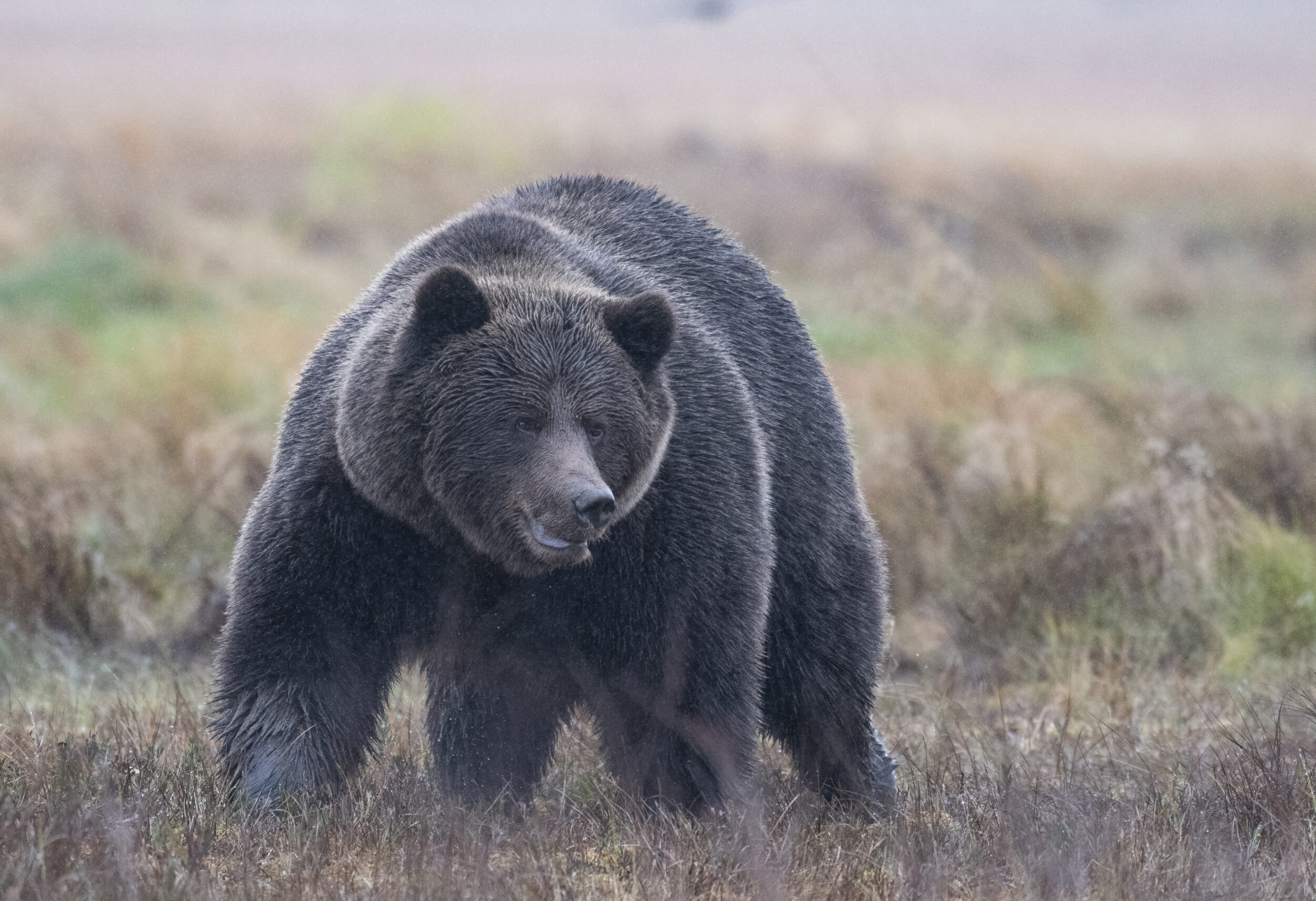
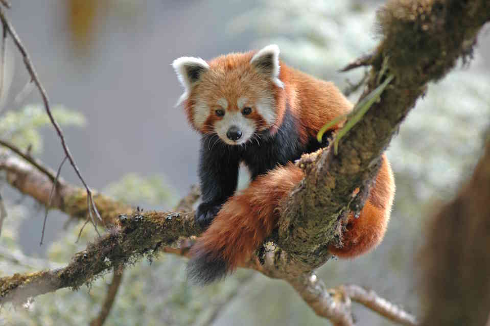
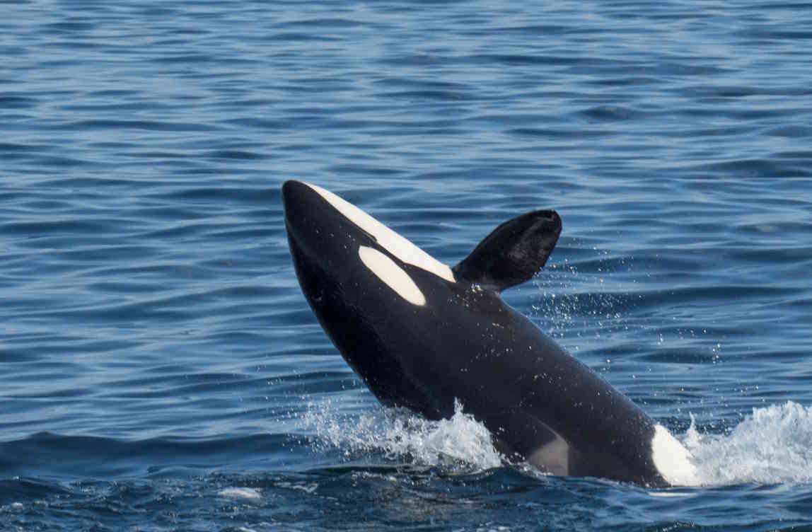
Wildlife Photos
Wildlife photos, which could not be taken in a Norwegian national park